Drone and Arial Photography
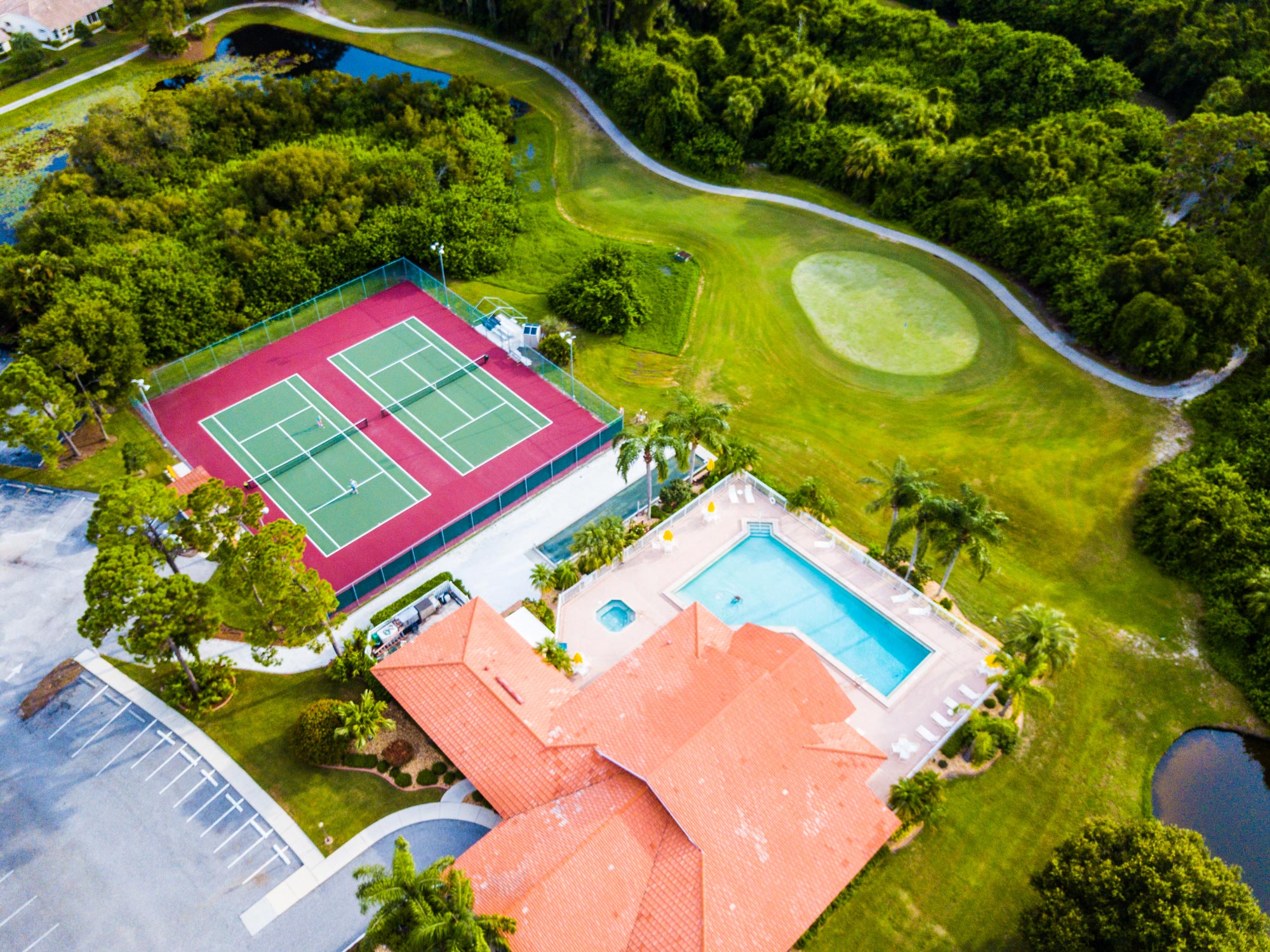
Drones are “streamlining the buying and selling process. They are revolutionizing real estate by providing more visual information at a reasonable cost.
Before drones became accessible to real estate pros, aerial photos of properties were limited. Using grainy satellite images (like those found on Google Earth) was state of the art. Or you could use pictures that were taken during pricey aerial photography sessions. However, hired airplanes or helicopters are quite expensive.
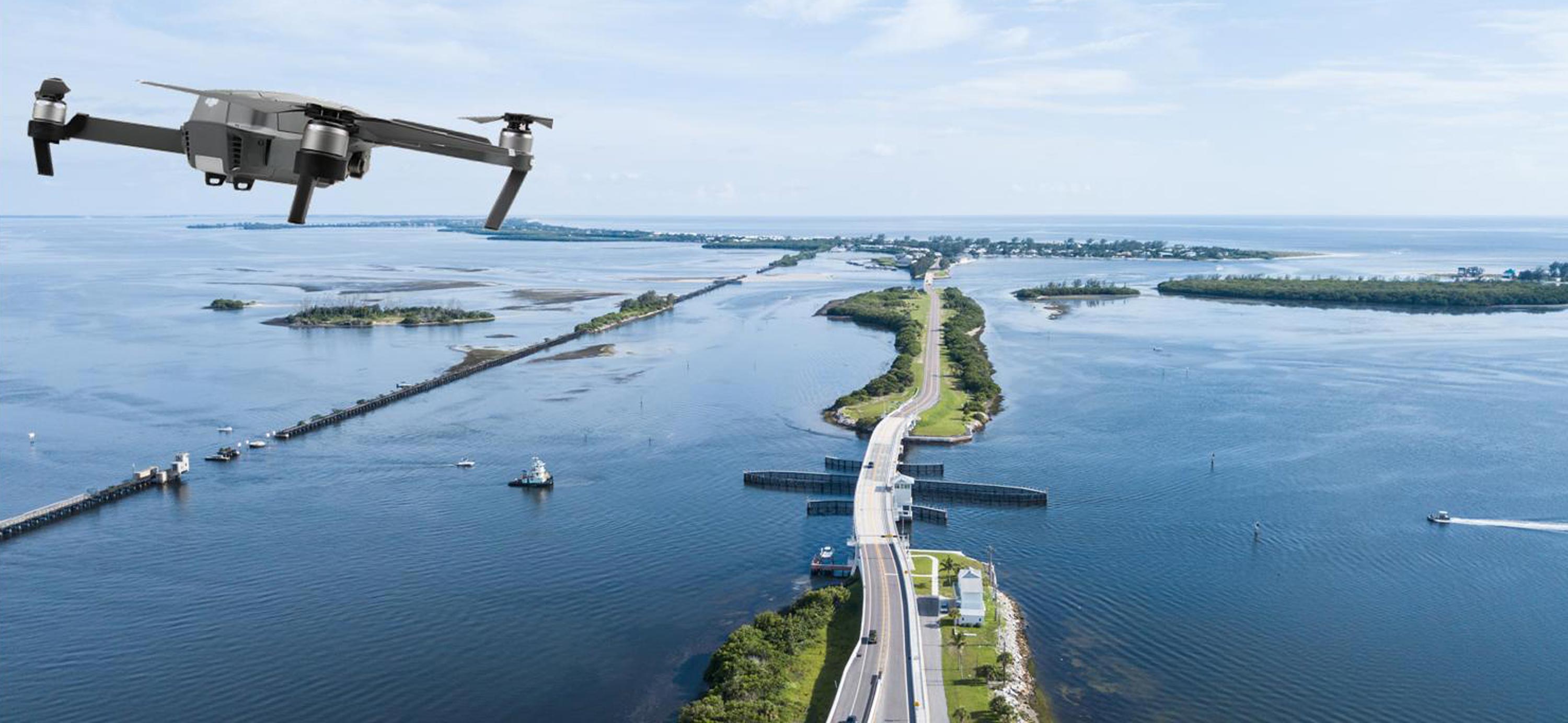
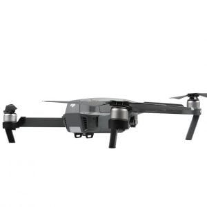
The ready availability of easy-fly, easy-buy hardware, called “drone,” has dramatically transformed the industry. Drones are not only used in real estate, but they are beneficial for real estate purposes. Mapping drones and camera drones are available. Mini-drones with a camera can take pictures and videos inside of buildings. Other drones can lift and deliver heavy parcels. They fly fully automatic and drop it on the spot.
There are racing drones that don’t fly, and winged drones that fly very fast. Two years ago, maybe three, you’d be hard pressed to find this many distinct flying computers on the market. Quad-, hexa-, or octo copters are dominating the drone scene now.
They are Flying Computers
If you are fascinated by high tech “toys” you have to admit that drones (or quad copters) are cool. Some models out there are glorified tech toys. Yes, tech has come a long way in a very short time. There are models on the market now that put earlier copters to shame regarding video quality and stabilization. Those little flying machines are outright crazy. Yes, one can say that drones aren’t toys anymore. They have become a valuable tool in many professions.
The more expensive models have many safety features. GPS and automatic Return-to-Home functionality is pretty much standard. If your control signal is interrupted, or if the battery gets down too low, the drone will come back to its take off point. Needless to say that it will automatically land within a 5-inch radius unless you forgot to calibrate the compass.
The first drones remained in the air for only ten to fifteen minutes. If the pilot wanted to take pictures or videos, he had to hurry up before his copter fell out of the sky. That “behavior” was always very disappointing and not acceptable. The quality of the pictures was decent at best. 720p or 1080 p was standard. The drone was not very stable in the air. The images taken were often shaky or blurry.
Quite a few of those drones never made it back home. While the pilot was staring into the sky with wide open eyes and a sweaty face, his drone was already inspected by a hermit crab in need of a new home.
The Energy Sauce is always of a Concern
That old lead battery or zinc-carbon battery is now good for the museum. Lithium-ion batteries with a much higher charge density are now making things possible that were impossible before. Most drones can now fly for at least 25 -30 minutes on a single battery charge. Some drones can stay in the air for almost 45 minutes, depending
on the wind and other conditions.
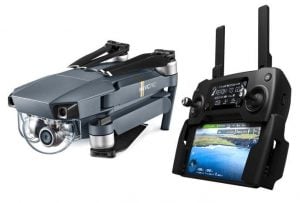
4k cameras and even better cameras are standard. Images are sent to the pilot’s smartphone or tablet in real time. The pilot sees exactly what the drone …and the hermit crab…sees.
The routes are programmable; the camera settings are programmable, the drones fly autonomously, they can now avoid obstacles and, therefore, return (in most cases) unharmed.
There is No Freedom in the Sky
Drones can go as far as 5 miles, and they are still controllable while sending high-quality pictures. But who wants to do that? Moreover, there are strict rules in effect, and the FAA keeps an eye on those drone pilots. You have to have visual contact whenever you fly your drone, and there are altitude and airspace restrictions to obey. The pilot also needs a special drone license if he wants to use his drone commercially.
Taking pictures for this website, or taking pictures for any kind of compensation, qualifies already as a commercial activity. Therefore, we had to go the extra mile and get a commercial UAS (unmanned aircraft system) license and register our drone.
We at Bay Breeze Intl Realty utilize aerial photos for our listings and our website because it is the best way to show non-locals what the area looks like. What are your options if you want to determine if you will like the surrounding of your future home? Contact us below, if you are thinking of buying or selling a home in the greater Englewood and Venice area.


